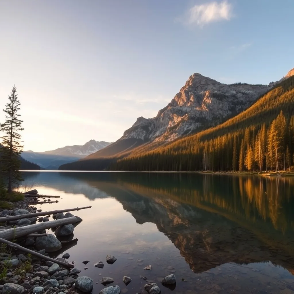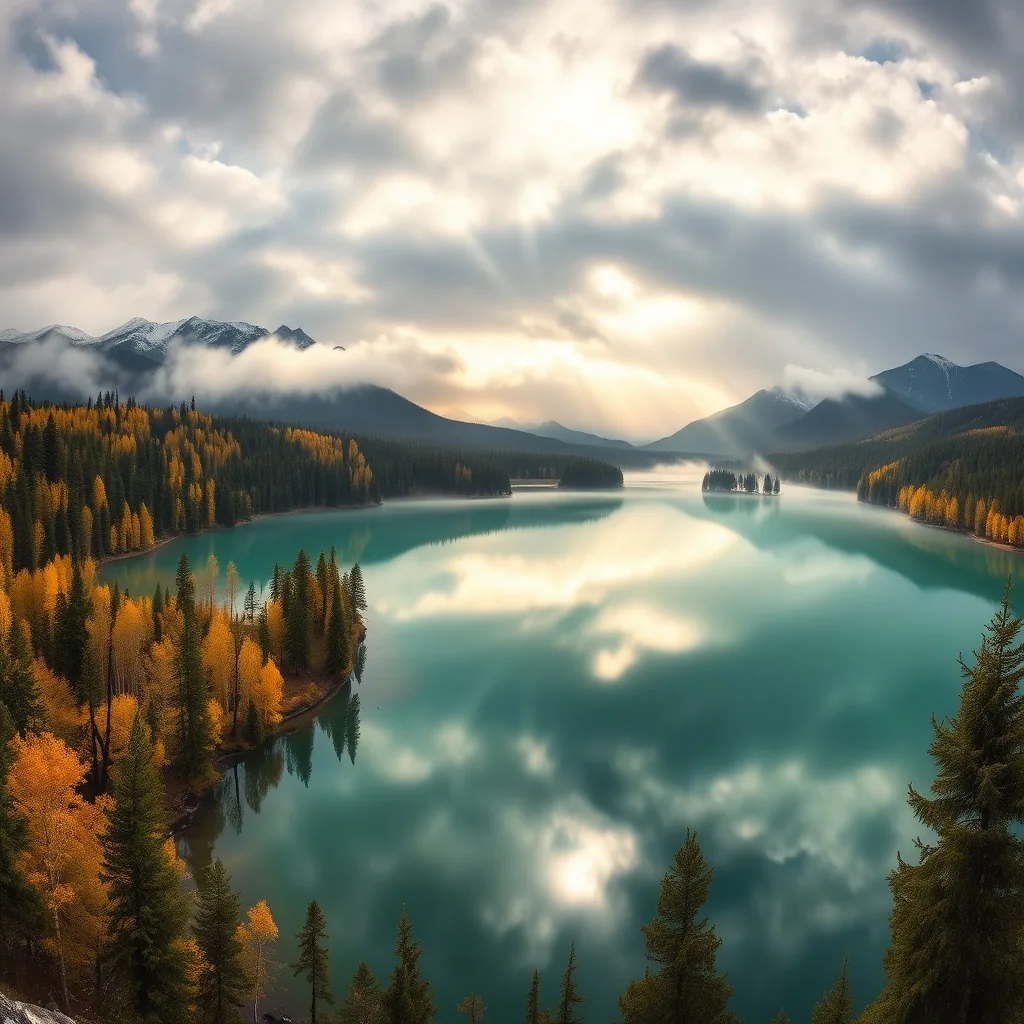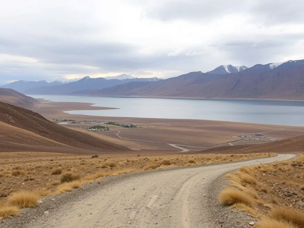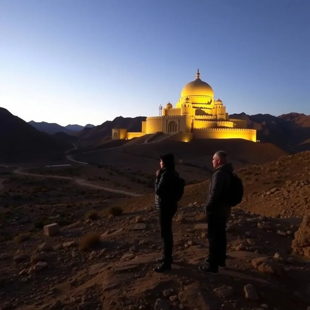



Day 1: Chengdu – Kangding (280km/5h)
Depart from the Chengdu Third Ring Road at 7:00 AM, heading west along the Yaye Expressway. The initial section of the Yaye Expressway leaving Chengdu consists of plain rice fields. After passing Pujiang, the road starts a gentle climb; bamboo forests and shallow hills gradually appear outside the window, and the humidity in the air slowly drops. Fill up the tank at Tianquan Service Area (95# gasoline 8.5 yuan/L), and continue towards Luding. An hour later, transition onto National Highway 318—this is the official start of the Sichuan-Tibet line.
- When passing through the Erlang Mountain Tunnel (total length 13.4km), the lights inside are yellowish, and mobile signals are intermittent. For manual transmission vehicles, it is recommended to switch to D3 gear and maintain a steady speed of 60km/h to avoid frequent gear changes and carbon buildup. The moment you exit the tunnel, the altitude jumps from 1330m to 2560m. The wind suddenly turns cold (perceived temperature drops 8℃); quickly pull your jacket zipper to the top. Your ears may start to ache slightly—this is the body’s reminder that “the altitude has risen.”
- There is a viewing platform near the Luding Bridge. Stop for 10 minutes to photograph the Dadu River Canyon; the water flows so fiercely it looks like shattered white jade, feeling more imposing than in photos.
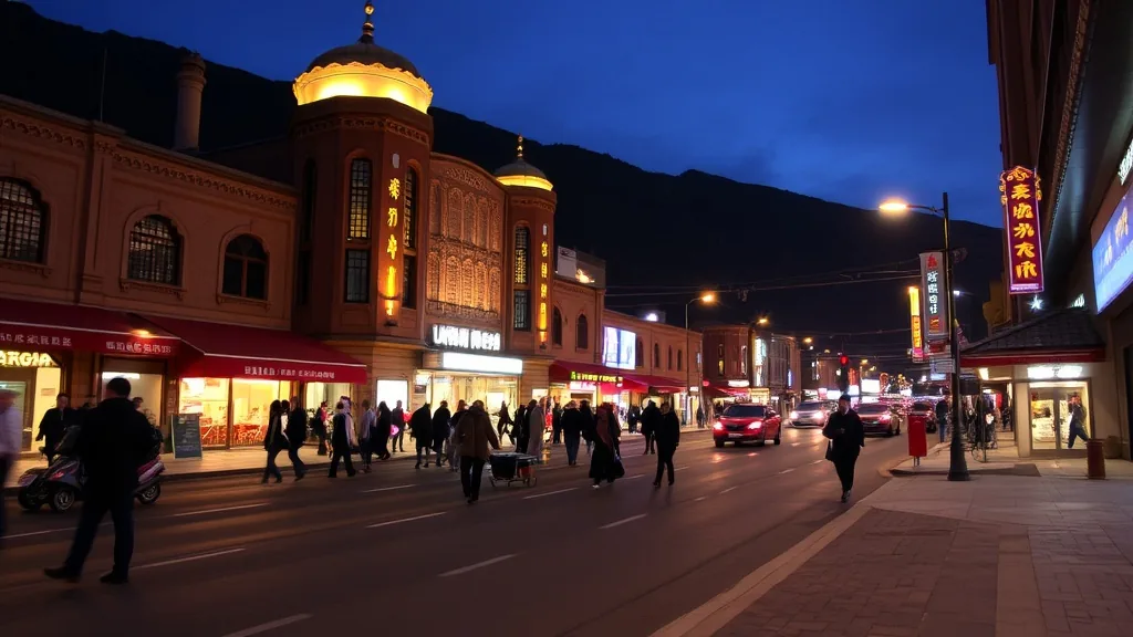
Stayed at the Kangding Love Song Theme Hotel, a 15-minute walk from the city center. Chose an oxygen-enriched room (50 yuan/night more expensive than a regular room, but worth it). The room has an independent oxygen generator; turn the knob to the medium setting (oxygen concentration about 25%), and your nose won’t feel blocked at night. The heating was set to 22℃, and the quilt was a thickened down duvet; waking up in the middle of the night, my feet were still warm, unlike ordinary hotels where you might freeze awake. The front desk said oxygen rooms are mostly fully booked this season, recommending a booking 3 days in advance.
Dinner was at “Kangding Impression Earth Hot Pot” next to the hotel. The Tibetan-style earth hot pot uses a copper pot, and the yak meat is the rib section (chewy with tendon). The wild mushrooms were Matsutake and Porcini picked by the owner that day; the broth was simmered for 4 hours, milky white with a mushroom aroma. The 4 of us ordered a small pot (128 yuan) + wild mushroom platter (48 yuan) + Napa cabbage (15 yuan), averaging exactly 60 yuan per person. Swallowing the hot soup felt like having a small sun in the stomach; after eating, we could even unbutton our coats. The owner said the base has no MSG, relying on yak bones and mushrooms for freshness; it’s perfect with highland barley cakes dipped in chili powder.
Practical reminders must be emphasized: Do not wash your hair or bathe on the first day. Last time I traveled with a friend, he wanted to shower in Kangding because he was tired; as a result, the water was too hot and he sweat a lot, leading to nasal congestion and a headache at midnight. Although 2560m is not extremely high, the body is still in an adaptation period. After bathing, the pores open up, and catching a chill can easily trigger altitude sickness due to lowered immunity. If you really want to clean up, wipe your body with a wet towel and dry your hair with a hairdryer on the hot setting.
|
Daily Data
|
Details
|
|---|---|
|
Departure-Arrival Time
|
7:00 Depart Chengdu, 12:30 Arrive Kangding
|
|
Fuel + Tolls
|
SUV fuel 150 yuan, Yaye Expressway toll 80 yuan
|
|
Accommodation Cost
|
Oxygen room 320 yuan/night (includes breakfast)
|
|
Food Spending
|
Tibetan hot pot 240 yuan for 4 people (60 per person)
|
|
Altitude Adaptation Focus
|
2560m after Erlang Mountain Tunnel, avoid strenuous activity
|
Case: Brother Li, who was traveling with us, didn’t believe the warnings and washed his hair with the hottest water as soon as he reached the hotel. Consequently, he complained of a headache at midnight and only felt better after inhaling oxygen for half an hour. He said, “I thought it was just washing hair, I didn’t expect altitude sickness to hit so fast”—keep these words in mind; stay steady on the first day.
Rested in the hotel until 3:00 PM, then visited Kangding Love Song Square. Local Tibetan aunties were dancing Guozhuang; people joined as soon as the music started, holding hands and spinning in circles—the atmosphere was livelier than at many scenic spots. At dusk, strolled along the Zheduo River; the water shimmered like crushed silver, and the distant mountains wore caps of thin clouds. Only then did I realize why it’s called “Kangding, the city of love songs.”
Final vehicle check: Set tire pressure to 2.5bar (tire pressure rises at high altitudes, don’t overfill), spare tire at 2.7bar, and brake fluid above the midline—tomorrow we cross Zheduo Mountain, no room for carelessness.
Day 2: Kangding – Xinduqiao – Yajiang (150km/3h)
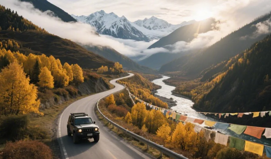
Departed from the Kangding Love Song Theme Hotel at 8:30 AM. Slept soundly in the oxygen room last night, so energy is high today. Head west along National Highway 318. The first half is a valley road along the Zheduo River; the surface is flat but there are many curves. Maintain speed below 60km/h. If you encounter yak herds belonging to herders crossing the road, honk to signal, and they will slowly move to the side.
Sightseeing Activities
Zheduo Mountain Pass (4298m): Arrived at 10:00 AM; the wind at the pass is strong enough to blow off a jacket hood. Wind protection is a must when stopping for photos: I wore a fleece-lined beanie (covering my ears), wrapped a scarf twice around my neck, and used a wrist strap on the camera to prevent it from being blown over. Camera batteries drain extremely fast here; at -2℃, a fully charged Sony NP-FZ100 drops 20% in half an hour. It is recommended to carry 2 spare batteries close to your body for warmth (testing showed this extends battery life by 1 hour). Near the stone tablet at the pass, Tibetans sell yak jerky (80 yuan/jin); choose the ones with clear texture for a milky fragrance—they are half the price of those in scenic areas.
Xinduqiao Photography Gallery: Entered the town at 3:30 PM, navigated to “Ten-Mile Gallery Viewing Platform.” Photographing the golden edges of the poplar forest against the light at 4:00 PM is the essence—the sun shines obliquely from the west, plating the edges of the poplar leaves in gold. Using a 16-35mm wide-angle lens allows you to frame the entire row of trees, distant Tibetan villages, and snow mountains. I squatted on the field ridge, aperture at f/8, shutter speed 1/125s; the photos were richly layered, earning over 50 likes on WeChat. Avoid wearing bright colors under the trees to keep from stealing the spotlight.
Road Conditions: The old road over Gaoersi Mountain (the old 318 over the pass) is completely closed; now you take the Gaoersi Tunnel Group (3 tunnels in total, 8.2km long). The lights inside are dim, speed limit 40km/h (there is interval speed measurement). Last time I followed too closely, the car ahead braked suddenly and I almost rear-ended it—do not overtake in the tunnel and keep a following distance of over 50 meters. After the tunnels, you reach Xinduqiao town, where the asphalt turns into gravel (maintenance period); the high clearance of the SUV is a clear advantage, though sedans can pass slowly.
Case: Last year, my companion Xiao Wang didn’t bring a spare battery and took a 20-minute time-lapse at Zheduo Mountain Pass; the camera suddenly went black. He was jumping in place from the cold and worry until he borrowed my spare battery. “I thought the plateau was just cold, I didn’t expect the batteries to be so fragile”—remember this.
Stayed at the “Yalongjiang Grand Hotel” in Yajiang County, standard room 220 yuan/night (includes breakfast). The room has an electric blanket; drank a cup of butter tea (salty, adding roasted highland barley powder makes it more fragrant) provided by the front desk before bed to relieve the backache from a day of driving.
|
Daily Data
|
Details
|
|---|---|
|
Departure-Arrival Time
|
8:30 Depart Kangding, 11:30 Arrive Yajiang
|
|
Actual Mileage/Time
|
150km, total 3 hours including photo stops
|
|
Fuel
|
SUV 95# gasoline 120 yuan (Yajiang price 9 yuan/L)
|
|
Sightseeing Time
|
Zheduo Pass 10:00-10:40, Xinduqiao Gallery 15:30-16:30
|
|
Road Conditions
|
Gaoersi Tunnels speed limit 40km/h, slow on gravel
|
|
Accommodation Cost
|
Yalongjiang Hotel standard room 220 yuan (includes breakfast)
|
Had a bowl of beef over rice (35 yuan) in Xinduqiao in the afternoon; the beef was braised and served with pickled radish to cut the greasiness. Departed for Yajiang at 4:30 PM. This section has many descents; switch to S gear to use engine braking and avoid overheating the brake pads. Near Yajiang, the Yalong River surges through the canyon, the sound of water drowning out the engine—this is the beginning of the “eyes in heaven” experience on the Sichuan-Tibet line.
Day 3: Yajiang – Litang – Batang (300km/6h)
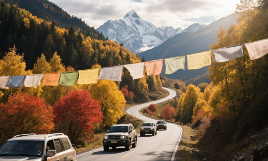
Departed from the Yalongjiang Grand Hotel at 7:00 AM. The electric blanket kept me warm last night, so I’m not drowsy for the long drive. Head south from Yajiang County along National Highway 318. The first half is a winding mountain road along a tributary of the Yalong River; the road is narrow but the slope is gentle. Maintain speed at 50km/h; honk in advance when encountering oncoming traffic (mountain echoes are loud, the other side might not hear you).
Section Details
Yajiang – Litang (135km): Passing through the Jianziwan Mountain Tunnel (length 2830m). Fill up at Yajiang Military Station before the tunnel (95# gasoline 9 yuan/L, 0.8 yuan more expensive than in town). The lights in the tunnel are pale, speed limit 60km/h (cameras present). I drove the SUV in automatic mode, the steering wheel slightly pulling right (tunnel curvature); hold steady. The moment you exit, the altitude rises from 2530m to 3900m; ears feel pressurized like being in an elevator, swallow to relieve it. The tunnel exit is the “Eighteen Bends of the Heavenly Road” viewing platform; stop for 10 minutes to photograph the winding road; mist wraps around the mountainside like ribbons.
Litang – Batang (165km): Crossing the Maoya Prairie is the highlight. Entered the prairie at 11:00 AM; the meadows were turning yellow, with scattered purple Gesang flowers. Slowing down for yak herds is normal—last time we met over 200 yaks driven by herders on motorcycles; we stopped 30m off the road and waited for them to cross (about 40 minutes). Do not honk to startle them; yaks might ram the car if panicked (a herder said a sedan’s hood was dented last year). Prairie sections occasionally have potholes; SUVs with high clearance roll over them, while sedans should go slowly around the edge stones.
Cultural Experience: Arrived in Litang County at 12:30 PM and went straight to the West Gate Tsangyang Gyatso Museum (free, closed on Mondays). The museum isn’t large but the content is solid: a chronological table of Tsangyang Gyatso’s life hangs on the wall (born in 1683 in Litang, entered Tibet at 14); glass cases hold copies of his manuscripts; there is also a reproduction of the Tibetan version of “The Collected Poems of Tsangyang Gyatso.” I saw a visitor’s note saying “Litang became a place of poetry because of you.” Standing on the West Gate wall looking at the prairie, even the wind feels like it’s carrying lines of poetry.
Cost Reference: Filled up with 95# gasoline at “PetroChina South City Gas Station” in Litang (9.2 yuan/L); 55L for the SUV cost 506 yuan (from 1/4 to full). Accommodation in Batang was at “Batang Yingbin Grand Hotel,” standard room 180 yuan/night (includes breakfast). The room has an electric blanket and humidifier (dry at high altitude, level 2 is perfect). The owner said this is the lowest price for the peak season, rising to 260 yuan after National Day.
Case: Companion Old Zhang was in a hurry on the Maoya Prairie and tried to overtake a yak herd. A mother yak and her calf froze in the middle of the road. He slammed on the brakes with only 5m left, palms sweating—the herder waved for him to back up, saying “Yaks are wary of strangers, the more you rush, the less they move.” Following the motorcycle was actually half an hour faster than trying to overtake.
Lunch in Litang at “Snowland Tibetan Cafe” consisted of beef buns (2 yuan each, thick skin and plenty of filling), paired with butter tea (salty with a teaspoon of sugar). Arrived in Batang at 4:00 PM; dropped luggage at the hotel then went to Batang Bridge to see the Jinsha River (the border between Sichuan and Tibet); the water was muddy and turbulent, with Mangkang County, Tibet, on the other side.
|
Daily Data
|
Details
|
|---|---|
|
Departure-Arrival Time
|
7:00 Depart Yajiang, 13:00 Arrive Batang
|
|
Actual Mileage/Time
|
300km, total 6 hours including photo stops
|
|
Fuel
|
Litang refill 55L × 9.2 yuan = 506 yuan (SUV)
|
|
Accommodation Cost
|
Batang Yingbin Hotel standard room 180 yuan (includes breakfast)
|
|
Route Highlights
|
Jianziwan Tunnel 2830m (limit 60km/h), slow for yaks on Maoya Prairie
|
|
Cultural Experience
|
Tsangyang Gyatso Museum manuscripts and poetry collection
|
|
Road Condition Reminder
|
SUV priority for prairie potholes, sedans go around edges
|
Browsed the farmers’ market in Batang at dusk and bought a bag of fresh Matsutake (80 yuan/jin, half the price of Chengdu). The owner said they were picked this morning; asked the hotel kitchen to help make chicken soup (added ginger to remove gaminess)—had three bowls of the delicious broth. After this day, the altitude went from 2530m to 3890m then down to 2580m; no obvious discomfort—the vehicle checks and supply preparations were right, making it worry-free.
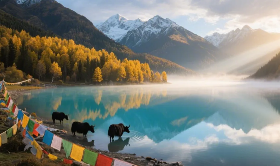
Day 4: Batang – Mangkang – Zuogong (260km/5h)
Departed from Batang Yingbin Grand Hotel at 6:30 AM. Had half a pot of Matsutake chicken soup left from last night, put it in a thermos for the road. Head east along National Highway 318. The first half is a gravel road along a tributary of the Jinsha River; there’s fine sand on the surface. Set the SUV to D2 gear to prevent slipping, speed not exceeding 50km/h.
- Trap Warning: Jinsha River Bridge is the Sichuan-Tibet border (between Batang, Sichuan and Mangkang, Tibet). When arriving at 9:00 AM, there is a military checkpoint. Preparing your ID card in advance is crucial—last time I was with a friend who forgot theirs, and we had to go back to Batang, wasting 2 hours. Show ID + vehicle registration; after a few simple questions about the itinerary (where to go, how many nights), you are released in 5 minutes. There is a viewing platform in the middle of the bridge to photograph the turbid flow of the Jinsha River ( high sediment content after the rainy season); the mountains in Mangkang are exposed and red, looking like they’ve been burned.
- Accommodation Experience: Arrived in Zuogong at 3:00 PM, stayed in a floor-heated room at Wangcuo International Hotel (320 yuan/night, includes breakfast). The room has tiled floors; floor heating set to 24℃ feels warm to bare feet, more even than an electric blanket; the quilt is thick cotton, no draft when turning at night. Had hot butter tea (15 yuan/cup) in the first-floor restaurant before bed; the owner boiled it in a copper pot, salty with a milky taste, served with a small dish of Tsampa (kneaded into balls to dip). Drinking it relaxed my bones and relieved the back pain from 5 hours of driving.
- Food Record: Took a 30km detour to Yanjing for Jiajia Noodles (navigate to “Yanjing Authentic Jiajia Noodle House”). The noodles are hand-rolled thin noodles, one bowl per bite (bowl is slightly larger than a teacup); the broth is simmered from pork bones and sauerkraut, topped with scallions. The owner said the record holder is 147 bowls (a local lad); the 4 of us challenged it, and I ate 23 bowls (stuffed). Pairing with Pipa meat to cut greasiness is the secret—Pipa meat is a whole salted air-dried pig leg, sliced thin and steamed for 20 minutes, marbled with a smoky flavor, eaten with chili powder. This meal cost 176 yuan for 4 people (noodles 12 yuan/bowl, Pipa meat 80 yuan/portion).
Case: Companion Xiao Chen thought the registration was a hassle and tried to slip through, but the military checked strictly. He had to have the Batang hotel front desk take a photo of his ID and send it over for verification. “I thought the boundary monument was just a sign, I didn’t expect a real check,” he later told everyone, “ID is more important than a wallet.”
Regarding road conditions, the section from Mangkang to Zuogong has the Jueba Mountain winding road (25km climb of 800m); curves are sharp with many falling rocks. I gripped the SUV steering wheel tight and honked in advance for oncoming cars.
|
Daily Data
|
Details
|
|---|---|
|
Departure-Arrival Time
|
6:30 Depart Batang, 15:30 Arrive Zuogong
|
|
Actual Mileage/Time
|
260km, total 7 hours including Yanjing detour
|
|
Fuel
|
Batang refill 60L × 9.1 yuan = 546 yuan (SUV)
|
|
Accommodation Cost
|
Wangcuo Hotel floor-heated room 320 yuan (includes breakfast)
|
|
Food Spending
|
Jiajia Noodles for 4 (23 bowls × 4) + Pipa meat = 176 yuan
|
|
Trap Warning
|
ID required for Jinsha River Bridge, prepare in advance
|
|
Road Condition Focus
|
Falling rocks on Jueba Mountain road, honk for safety
|
Browsed Zuogong County at dusk and bought a bag of air-dried yak meat (100 yuan/jin, chose the leanest). The owner said it’s rubbed with salt and hung under the eaves for half a month; the more you chew, the more fragrant it becomes. Lying in the floor-heated room, listening to the sound of a tributary of the Yarlung Tsangpo River outside, I remembered the mess of eating Jiajia Noodles—travel is like this, it’s the effort that makes it memorable.
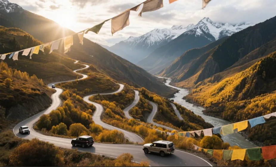
Day 5: Zuogong – Bangda – Basu (360km/7h, including Nujiang 72 Bends)
Departed from Zuogong Wangcuo International Hotel at 7:00 AM. Last night’s butter tea was effective; I have energy for climbing today. Head north along National Highway 318. The first half is a flat road along the Yuqu River; some potholes, SUV rolls over them at 60km/h. Filled up at Tianduo Town (95# gasoline 9 yuan/L) and continued towards Bangda; the altitude slowly climbs.
Driving Details
Continuous climb from Bangda to Yela Mountain Pass (4658m): Entered Bangda Prairie at 10:00 AM; 22km continuous climb starts here (altitude from 4120m to 4658m). I drove a manual car, switching to 2nd gear (keeping RPM above 2500); steady on the gas—last time a friend drove an automatic, the RPM fluctuated in D gear, and fuel consumption was 1/3 higher than manual. The wind at the pass was so strong I could barely open my eyes; when taking photos of the prayer flags, the lens fogged up immediately (15℃ temp difference); wiped it with lens paper and tucked it into the bag quickly.
Nujiang 72 Bends: Arrived at Yela Mountain Pass at 1:00 PM; below are the Nujiang 72 Bends (officially “Yela Mountain 99 Bends”). The viewing platform is halfway down the mountain (about 3km from the pass); navigate to “Nujiang 72 Bends Viewing Platform.” A telephoto lens is needed for photography (I brought 70-200mm f/4); zoom in to capture the guardrails and river view at the bends; a wide-angle lens only shows a stack of overlapping curves. Check brake pad temperature before the descent (should not be too hot to touch); switch to M2 gear (manual mode 2nd gear) to control speed (within 40km/h), using engine braking instead of riding the brakes—last time companion Xiao Li stayed in D gear, and the brake pedal went soft after 5km; he had to pull over for 10 minutes to cool them.
Safety Tip: The outside of each hairpin turn often has gravel piles (dropped by truck brakes); tires can slip easily. Don’t turn the steering wheel to the lock. Active honking for oncoming trucks (honk 100m in advance); the echo is loud, and truck drivers will slow down knowing you’re on the inside lane. I almost grazed a truck at the last turn because I didn’t honk—the driver later waved and laughed, saying “You small cars look nimble, but your blind spots are huge.”
Stayed at Basu “Nujiangyuan Hotel” (280 yuan/night, includes breakfast), room has electric blanket and humidifier (altitude 3260m, humidifier level 3 is just right). Chatting with the Tibetan girl at the front desk before bed, she said the 72 Bends have landslides 3-4 times every rainy season; we were lucky they had just cleared the rubble.
Dinner was at “Sichuan Flavor Kitchen” next to the hotel: Tibetan fragrant pork bacon stir-fried with garlic sprouts (bacon cured by the owner), with tomato and egg soup; 160 yuan for 4 people (40 per person). The bacon was smoky and the garlic sprouts crisp.
Case: Last time on this route, a friend drove an SUV in automatic mode for the descent, thinking the power was sufficient, but didn’t switch to manual mode. By the time we reached Basu, the brake discs were glowing red (took a photo); the shop said another 10km and he’d have to replace the pads. He now tells everyone “M gear is ten times more reliable than D gear for the 72 Bends.”
|
Daily Data
|
Details
|
|---|---|
|
Departure-Arrival Time
|
7:00 Depart Zuogong, 16:00 Arrive Basu
|
|
Actual Mileage/Time
|
360km, total 7 hours including photo stops
|
|
Fuel
|
Tianduo Town refill 65L × 9 yuan = 585 yuan (SUV)
|
|
Accommodation Cost
|
Nujiangyuan Hotel standard room 280 yuan (includes breakfast)
|
|
Food Spending
|
Tibetan bacon stir-fry 160 yuan for 4 people
|
|
Driving Focus
|
2nd gear for Bangda climb; M2 gear for 72 Bends descent
|
|
Safety Tip
|
Anti-slip on gravel turns, honk for trucks
|
|
Viewing Platform Detail
|
Halfway position, 70-200mm lens for best shots
|
Watched the Nujiang River from the hotel balcony at dusk; the water roared in the canyon, and the mountain walls were bare rock looking like they were split by a sword. Thinking of the sweaty palms on the 72 Bends, I finally understood the “body in hell” part of the Sichuan-Tibet line—but the moment the prayer flags flew at the pass, it felt worth it. Checked tires before bed (pressure 2.5bar); we cross Anjiula Mountain tomorrow, must be careful.
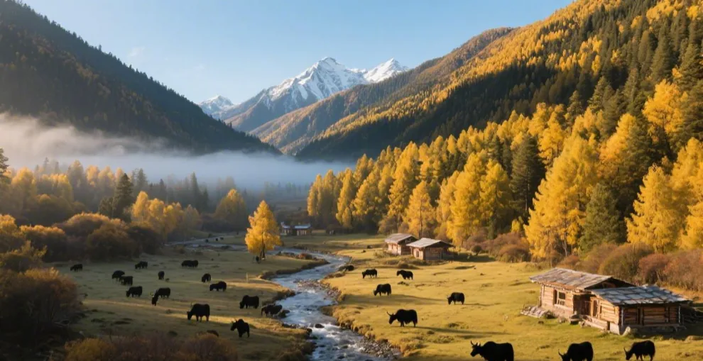
Day 6: Basu – Ranwu Lake (90km/2h)
Departed from Basu Nujiangyuan Hotel at 7:30 AM. Head west along National Highway 318. The first half is an asphalt road along the Lengqu River; scattered hidden potholes (from rainy season erosion). Maintain SUV speed at 60km/h. Filled up at Baima Town (95# gasoline 8.8 yuan/L, 0.2 yuan cheaper than Zuogong). Heading towards Ranwu, altitude drops from 3850m to 3260m, and the air is slightly less chilly.
Sightseeing Activities
Arrive at Ranwu Lake before 10:00 AM; the lake surface is like a mirror reflecting snow mountains when the morning mist has not dispersed: I specifically woke up at 6:30 AM (1 hour earlier than planned) and reached the east shore entrance at 8:10 AM. At 9:30 AM, the mist was thick, like a veil floating on the lake. The snow peaks of the Laigu Glacier Group (Gangrigabu Mountains) were faintly visible; the lake water was a gradient of light blue and green (clear at the shallows, dark green at the depths), reflecting the mountains. Using a 24-70mm standard lens for the panorama, aperture f/11, shutter speed 1/60s; the mist adds layers. To capture reflections, squat low so the lake occupies 2/3 of the frame. Last time I arrived at 10:30 AM, the mist had cleared, and I regretted not coming earlier.
Trek 2km along the west shore to Laigu Glacier Viewing Platform (free) to see the glacier tongue enter the lake up close: Drive 5 minutes from the east shore to the west shore parking lot (free). The trek is on gravel and meadow; a 2km flat walk takes about 40 minutes. I wore waterproof hiking boots (deep tread) and didn’t slip; brought a bottle of warm water (no supplies on the way), resting every 500m. The platform is at the end of the bay; the glacier tongue stretches into the lake (about 1.2km long); the ice has a blue-green glow, and there are melting ice chunks near the water like diamonds on blue velvet. Use a telephoto lens (70-200mm) to capture the cracks in the glacier tongue; the detail is stunning.
Accommodation Experience: Stayed in a wooden cabin at Ranwu International Self-Drive RV Camp (400 yuan/night, includes breakfast), chose a lakeside room. The cabin is log structure; floor heating set to 22℃; bare feet on the floor feel warm; added electric blanket on medium (fear of temp drop at night), with a thickened down duvet. The window faces Ranwu Lake; woke up at 7:00 AM to the lake light, better than an alarm. The camp has public bathrooms (24h hot water) and free ginger tea; the owner said these cabins are 600 yuan in the peak season (October).
Case: Companion Xiao Wu didn’t go to the platform last time, thinking the trek was too tiring. Later he heard other tourists say “The glacier tongue view is best only these two months,” and he regretted it: “If I knew, 2km is nothing, I would’ve walked even if my legs broke!”
|
Daily Data
|
Details
|
|---|---|
|
Departure-Arrival Time
|
7:30 Depart Basu, 9:10 Arrive Ranwu Lake
|
|
Actual Mileage/Time
|
90km, total 4 hours including photos and trekking
|
|
Fuel
|
Baima Town refill 50L × 8.8 yuan = 440 yuan (SUV)
|
|
Accommodation Cost
|
RV camp cabin 400 yuan/night (includes breakfast)
|
|
Sightseeing Time
|
Ranwu Lake 9:30-10:30 (best mist), Trekking 11:00-11:40
|
|
Trekking Details
|
2km gravel/meadow on west shore, 40 min, waterproof shoes needed
|
|
Accommodation Focus
|
Floor heating 22℃ + mid-level electric blanket, lakeside view
|
|
Trap Warning
|
Mist usually clears by 10:30; bring water for the trek
|
Had Ranwu Lake fish soup (80 yuan, fresh Schizothorax) at the camp restaurant for lunch. Rested in the cabin in the afternoon watching wild ducks; the breeze from the lake carried moisture. Sunset at the lake turned the snow mountains golden; it was worth it. Checked vehicle: tire pressure 2.4bar; tomorrow to Bomi, road is narrow with many turns.
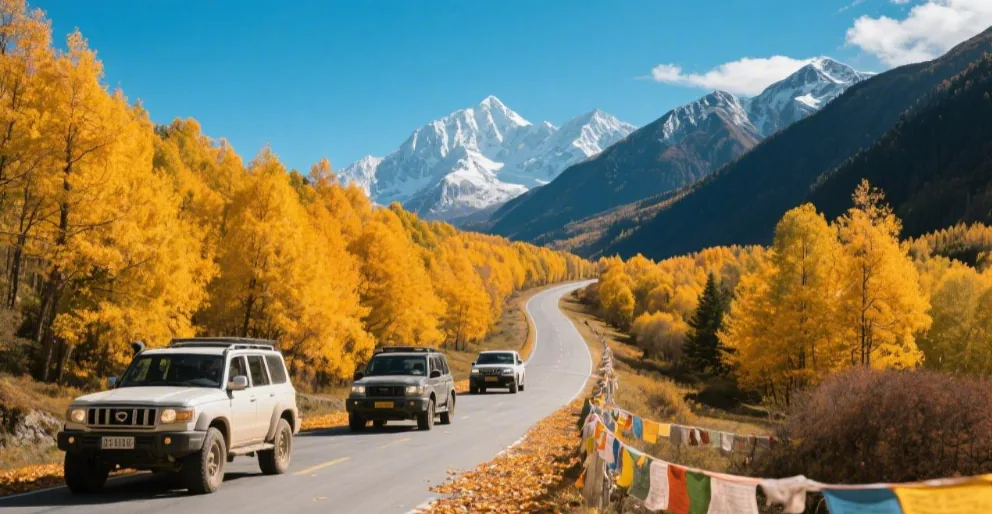
Day 7: Ranwu Lake – Bomi (120km/3h)
Departed from the RV camp at 8:00 AM. Head east along National Highway 318. The first half is the lakeside road on the east shore of Ranwu Lake; speed limit 50km/h to enjoy the autumn colors. Fill up at “Ranwu Town” 10km away (95# gasoline 8.6 yuan/L, 0.2 yuan cheaper than Baima). Heading towards Bomi, altitude drops from 3850m to 2730m; air becomes humid with the scent of pine needles.
- Road Status: At K3881 (navigation shows “near Guxiang Lake”), encountered a wading section—the road was covered by water with a sign “water depth 30cm.” Stopped to observe: the flow was slow, water depth just reached the tire midline (about 30cm). SUV clearance (21cm) was fine. Pass at a low, steady speed (within 10km/h), no turning or sudden acceleration to prevent water splashing into the engine bay. Last time companion Xiao Zhao tried to rush a sedan through; it stalled in the middle, costing 300 yuan for a tow—SUVs must check, sedans should never try.
- Humanities Record: Arrived in Bomi County at 11:00 AM, went to Gangyun Spruce Forest. Found local guide Zhaxi (Tibetan, about 40 years old), 200 yuan/person including explanation; he took us via forest paths. October is the end of Matsutake season; Zhaxi used a stick to move fallen leaves, pointing to a spot under a pine tree: “Look, the ones with unopened caps are freshest.” We picked 1.5 jin; he helped us build a fire (using our portable gas stove) for roasted Matsutake: sliced thin on foil, sprinkled with salt, roasted for 3 minutes until the edges curled. They were crisp and juicy with a pine-earth fragrance—ten times fresher than dried ones. Zhaxi said, “Matsutake loses freshness 2 hours after leaving the soil; eating them freshly picked is the only way.”
Stayed at Bomi “Renqing Guesthouse” (220 yuan/night, includes breakfast). The owner made Matsutake chicken stew (120 yuan) using our leftovers; it was delicious.
Case: Last year, I went into the forest without a guide and found nothing but mud. Zhaxi said, “Matsutake spots are specific; you look at tree age and moss thickness.” This time I learned they only grow under spruce trees older than 30 years—200 yuan for a professional was well spent.
|
Daily Data
|
Details
|
|---|---|
|
Departure-Arrival Time
|
8:00 Depart Ranwu, 11:00 Arrive Bomi
|
|
Actual Mileage/Time
|
120km, total 3.5 hours including wading and picking mushrooms
|
|
Fuel
|
Ranwu Town refill 45L × 8.6 yuan = 387 yuan (SUV)
|
|
Accommodation Cost
|
Renqing Guesthouse 220 yuan (includes breakfast)
|
|
Humanities Spending
|
Guide 200/person (800 for 4), Roasted mushrooms + stew 200 yuan
|
|
Road Condition Focus
|
Wading at K3881 (30cm depth), SUV low speed, sedans prohibited
|
|
Matsutake Picking
|
Late Oct, 30+ year spruce roots, roast with salt
|
|
Trap Warning
|
Observe oncoming cars before wading; don’t damage mycelium when picking
|
Rested in the guesthouse in the afternoon watching the Palong Tsangpo River. Zhaxi said Bomi has little rain this season, good for driving; in July-August, there are too many leeches. Before bed, checked vehicle: no leaks in engine bay after wading, tire pressure 2.3bar; tomorrow to Tongmai, must be alert.
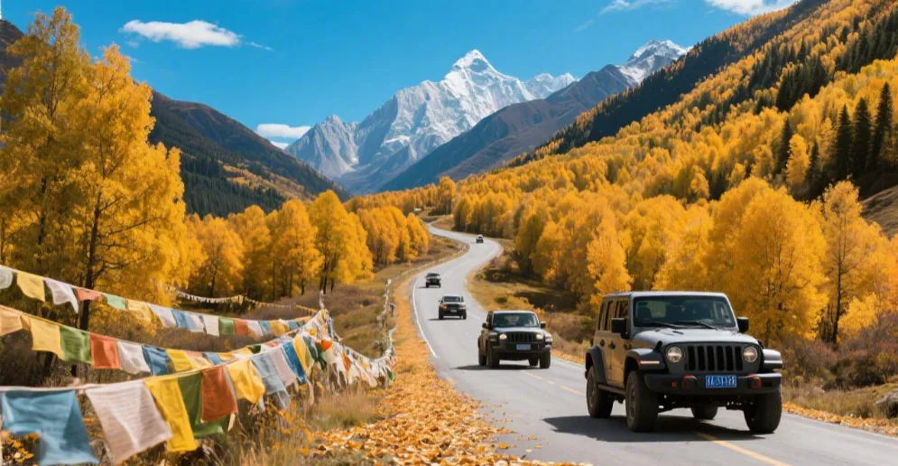
Day 8: Bomi – Tongmai – Lulang Forest (140km/4h)
Departed from Bomi at 7:30 AM. Head east along National Highway 318. The first half is a canyon road along a tributary of the Palong Tsangpo River; narrow but flat, speed 50km/h. Filled up at “Guxiang” 30km away (95# gasoline 8.5 yuan/L, 0.1 yuan cheaper than Ranwu). Altitude drops from 2730m to 2070m.
Natural Wonders
Tongmai Bridge spans the Yigong Tsangpo River; the water below is emerald green: Arrived at Tongmai at 9:30 AM; the Tongmai Bridge (new) is 415m long, steel structure, 80m above the river. From the viewing platform, the Yigong Tsangpo River flows gently; due to minerals (calcium, magnesium ions), it is emerald green with a hint of blue. Using a 24-70mm lens, aperture f/8, shutter 1/125s, you can see the rounded river stones. The old Tongmai Bridge (suspension) is 1km downstream, now a ruin—the contrast shows how the “natural barrier became a thoroughfare.”
Lulang Forest Viewing Platform: Sunlight penetrates the clouds at 3:00 PM, making the coniferous forest layers distinct: Arrived at Lulang Town at 1:30 PM, then to the platform (altitude 3700m). 3:00 PM is the golden hour—sunlight hits the mixed forest of spruce, fir, and larch. Top spruce is dark green, middle fir is sparse, bottom shrubs are yellow. Using a 70-200mm lens, you can see dew on needles; wide-angle captures the snow peak of Namcha Barwa (if clear). Bought roasted potatoes (5 yuan) from a Tibetan vendor.
Food Record: Dinner was at “Aunt He’s Stone Pot Chicken” (a 12-year-old shop). The stone pot is carved from Motuo soapstone; chicken is Tibetan fragrant chicken (free-range for 6 months), with hand-ginseng and matsutake slices, simmered for 3 hours. The soup was rich and fragrant. 4 of us ordered a small pot (1 chicken + sides) for 320 yuan (80 per person). Aunt He said, “Soapstone pots are seasoned with rice soup; chicken is killed fresh every morning.”
Stayed at Lulang “Forest Garden Hotel” (260 yuan/night, includes breakfast). Floor heating set to 20℃. The owner recommended visiting “Zhaxigang Village” tomorrow morning for the smoke from Tibetan houses.
Case: Last time in Lulang, I went to a new shop for cheaper price, but the chicken was frozen and tasteless. Aunt He was right—good ingredients and old skills make the difference.
|
Daily Data
|
Details
|
|---|---|
|
Departure-Arrival Time
|
7:30 Bomi Depart, 12:30 Arrive Lulang
|
|
Actual Mileage/Time
|
140km, total 4 hours including photos
|
|
Fuel
|
Guxiang refill 50L × 8.5 yuan = 425 yuan (SUV)
|
|
Accommodation Cost
|
Forest Garden Hotel 260 yuan (includes breakfast)
|
|
Food Spending
|
Aunt He’s Stone Pot Chicken 320 yuan for 4
|
|
Natural Wonders
|
Tongmai Bridge (415m), Emerald river; Lulang Forest 3:00 PM lighting
|
|
Road Condition Focus
|
Many turns from Tongmai to Lulang, watch for falling rocks
|
|
Trap Warning
|
Choose old shops for stone pot chicken; get to the platform before 3:00 PM
|
This 140km from canyon to forest was visually stunning. Checked vehicle: tire pressure 2.2bar; tomorrow to Nyingchi.
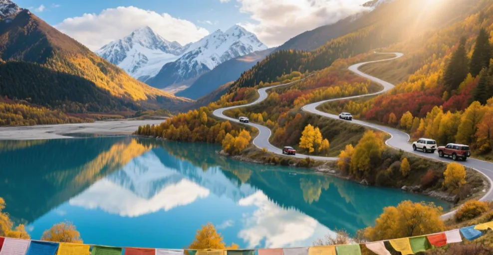
Day 9: Lulang Forest – Nyingchi (130km/3h)
Departed from Lulang at 8:00 AM. Head south along National Highway 318. The first half is an asphalt road from Lulang to Nyingchi; wide and flat, gentle slopes (altitude 3700m down to 2980m). Maintained speed at 70km/h. Caught a glimpse of Namcha Barwa at Sejila Pass. Filled up at “Bayi Town” 50km away (95# gasoline 8.3 yuan/L). Arrived at 10:30 AM.
- Cost Reference: Stayed at Hilton Nyingchi Gongbu Nature Resort (booked 5 days in advance, 800 yuan/night with breakfast). Chose a river-view room on the 8th floor, facing the Niyang River—1.8m high sliding glass doors offered an unobstructed view: the emerald-white river turned here, with Tibetan villages on the far bank. Room had floor heating (21℃) and humidifier (level 2). Breakfast at the 1st floor “All Day Dining” had Tibetan Tsampa, sweet tea, and Tibetan eggs; fresh beef noodles (38 yuan) were excellent.
- Activity Suggestion: Evening stroll along the Riverside Road to shoot the sunset on the Yarlung Tsangpo River. 10-minute walk from the hotel to the 2km wooden boardwalk. 6:30-7:00 PM is the golden hour—sunset turns the water golden-red. Used a 24-70mm lens for the panorama (f/11, 1/60s). Locals were dancing Guozhuang on the boardwalk.
Case: Last time stayed in a budget hotel (300 yuan) facing a parking lot. This Hilton river-view room was much better; waking up to the river mist and taking photos was worth the extra 400 yuan.
|
Daily Data
|
Details
|
|---|---|
|
Departure-Arrival Time
|
8:00 Lulang Depart, 10:30 Arrive Nyingchi
|
|
Actual Mileage/Time
|
130km, total 3 hours including refueling
|
|
Fuel
|
Bayi Town refill 40L × 8.3 yuan = 332 yuan (SUV)
|
|
Accommodation Cost
|
Hilton Nyingchi 800 yuan (includes breakfast)
|
|
Activity Details
|
2km boardwalk stroll, 6:30-7:00 PM sunset photography
|
|
Food Reference
|
Stone pot yak beef 180 yuan, beef noodles 38 yuan
|
|
Accommodation Focus
|
River-view room (8th floor), 21℃ floor heating, Tibetan breakfast
|
|
Trap Warning
|
Book Hilton in advance (1200+ in peak season); choose clear days for sunset
|
Checked vehicle: tire pressure 2.1bar; tomorrow the Lin-La Highway is easy, but watch the speed limit in Mila Mountain Tunnel.
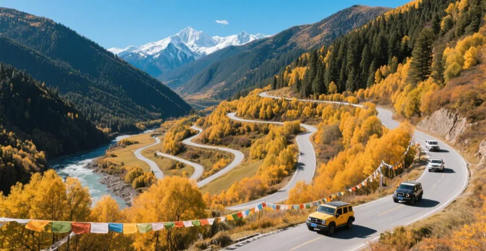
Day 10: Nyingchi – Lhasa (280km/5h)
Departed from Hilton Nyingchi at 7:00 AM. Head west along the Lin-La Highway (G4218), which is free to travel. Asphalt road, few turns, cruising at 100km/h (80km/h in tunnels). Filled up at “Baiba Town” (95# gasoline 8.2 yuan/L). Altitude rises from 2980m to 3650m.
Route Details
Lin-La Highway: First half follows the Niyang River. “Gongbu Jiangda Service Area” at 10:00 AM was clean with hot water. Mostly sedans and SUVs on this road.
Mila Mountain Tunnel (5720m) replaces the mountain pass road: Arrived at tunnel entrance at 12:00 PM; tunnel length 5720m. Speed limit 80km/h (interval measurement). Hold steering wheel steady. Phone signal is intermittent (Mobile 4G, Telecom no service); download music offline. Upon exit, altitude rises from 3580m to 5013m (Mila Mountain Pass); wind is very strong. This is the highest point of the trip; move slowly. Don’t stay longer than 10 minutes at the pass to avoid altitude sickness.
Closing Reminders: Arrived in Lhasa at 3:00 PM. Check the vehicle’s suspension system—inspected for shock absorber leaks (found grease on the left front dust cover), rubber sleeve cracks (lower arm sleeve was cracked), and tire bolt torque (tightened to 120N·m). The mechanic said a four-wheel alignment is needed after long bumpy drives, especially after the 72 Bends and wading at Tongmai. Paid 150 yuan for the alignment.
Overall Data Summary
|
Item
|
Value
|
|---|---|
|
Total Mileage
|
Approx 2100km
|
|
Highest Altitude
|
Mila Mountain Pass 5013m
|
|
Est. Fuel Cost
|
2500 yuan (SUV)
|
|
Toll Fees
|
0 yuan (Free in Tibet)
|
|
Essential APP
|
Ovital Map (offline tracks)
|
Final Advice must be clear:
- Refill every morning: Especially in Batang, Zuogong, Basu; gas stations are far apart.
- Some rural stations only have 92# gasoline: Fill up with 95# in larger towns.
- Carry enough cash: No signal at Dongda Mountain Pass (5130m); suggest carrying 2000-3000 yuan in change for areas where mobile payment fails.
Case: Companion Old Zhou only carried his phone; when he got a flat tire at Dongda Pass, the repairman only took cash. He had to borrow from other tourists. “I thought mobile payment was everywhere, but cash is king on high passes.”
Had Tibetan noodles (12 yuan) at the tunnel exit. Arrived in Lhasa at 4:00 PM, stayed at “Lhasa He-Yi Hotel” (350 yuan/night) with a view of the Potala Palace.
|
Daily Data
|
Details
|
|---|---|
|
Departure-Arrival Time
|
7:00 Nyingchi Depart, 15:00 Arrive Lhasa
|
|
Actual Mileage/Time
|
280km, total 5 hours including checks
|
|
Fuel
|
Baiba Town refill 55L × 8.2 yuan = 451 yuan (SUV)
|
|
Vehicle Check Cost
|
Alignment 150 yuan, shock maintenance 200 yuan
|
|
Food Spending
|
Tibetan noodles + radish 17 yuan
|
|
Route Highlights
|
Free Lin-La Highway, Mila Tunnel 5720m (80km/h limit), 5013m pass
|
|
Closing Focus
|
Check suspension, four-wheel alignment after long trip
|
|
Trap Warning
|
Weak signal in tunnel; limit pass stay to 10 min
|
This 2100km journey from plains to plateau is now complete. Every detail matters. Used Ovital Map to review the track and mark points for improvement next time.
You May Also Like
- Is Yunnan Travel Car Rental Reliable | Cost, Driver Selection, Route Planning & Dispute Prevention
- What Pitfalls to Avoid on Yunnan Independent Travel | Transportation, Shopping, Group Tours & Ancient Town Spending
- What Pitfalls to Avoid on Yunnan Family Trips | Climate Changes, Itinerary Intensity & Attraction Selection Tips
- How to Travel in Yunnan Without Backtracking | Kunming, Dali, Lijiang, Xishuangbanna Itinerary & Pitfall Guide
- What to Know Before Going to Yunnan | Weather, Altitude, Routes & Common Pitfalls Explained
Nyingchi —: Numbers to Check
Tickets & Booking
- Basum Tso ticket (prices posted by the official Tibet Culture and Tourism account): Adult CNY 120; concession ticket (student/senior) CNY 60; ticket + bus adult CNY 165, senior/student CNY 105; ticket + lake-island boat + sightseeing bus package CNY 325 (senior/student CNY 265); no booking required[src]
- Lulang Forest Sea/Lulang Town: Visitors can enter the Lulang Forest Sea viewing platform, the Lulang Pastoral Scenery viewing platform and the main scenic area of the Lulang scenic area without a ticket; the viewpoints are very close to the parking area, there is no sightseeing bus, and walking is enough (note: some old guides give a ticket of about CNY 80, which has been superseded by the current free-admission policy); no booking required[src]
- Namcha Barwa/Sejila Pass: Sejila Pass is free (elevation about 4728 m, with an oxygen rest station); Namcha Barwa itself has no separate ticket and is usually viewed from the south bank viewpoints or north bank Suosong village; no booking required[src]
Transport & Schedules
- Lhasa station → Nyingchi station (Bayi) | Train: C881 EMU 07:55–11:36, 435 km about 3 h 41 min; K9801 conventional 08:40–14:00, about 5 h 20 min[src]
Where to Stay · Room Type · Nearby
- Nyingchi Bayi town (city) | Reference price About CNY 200–600 per night (reference) | Room tip: Well equipped and a transfer base for Nyingchi’s scenic areas; at about 3000 m elevation, suitable for those sensitive t | Nearby add-ons: Gala Peach Blossom Village, Niyang River scenery belt, Biri Holy Mountain, Sejila Pass[src]
- Lulang Town/Zhaxigang village | Reference price Guesthouses/star-rated hotels (reference; book ahead in peak season) | Room tip: Lulang Town is at about 3400 m with lower temperatures—bring a down jacket; there are quality guesthouses and star-rated | Nearby add-ons: Lulang Forest Sea viewing platform, Lulang alpine pasture, Zhatang Lucuo, Sejila Pass[src]
Typical Climate & Packing (Past Years)
- January: -5 °C–8 °C °C, Nyingchi is at an elevation of about 3000 m, a lower-altitude and hi
- February: -3 °C–10 °C °C
- March: 0 °C–13 °C °C, Peach blossom season begins
- April: 3 °C–17 °C °C, Peak peach blossom season; blossoms bloom on both banks of the canyo
- May: 7 °C–19 °C °C
- June: 10 °C–21 °C °C, Rainy season begins