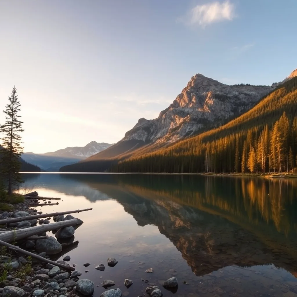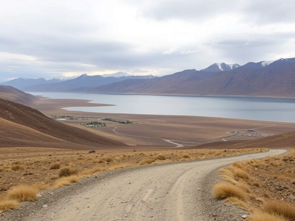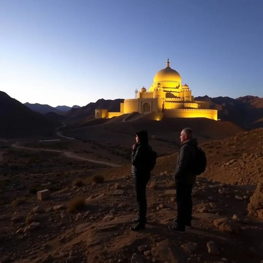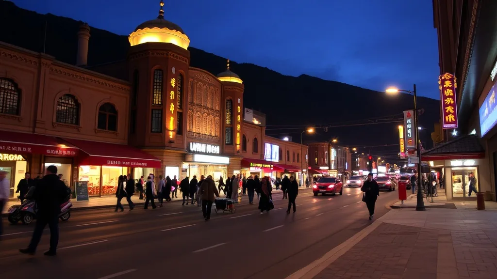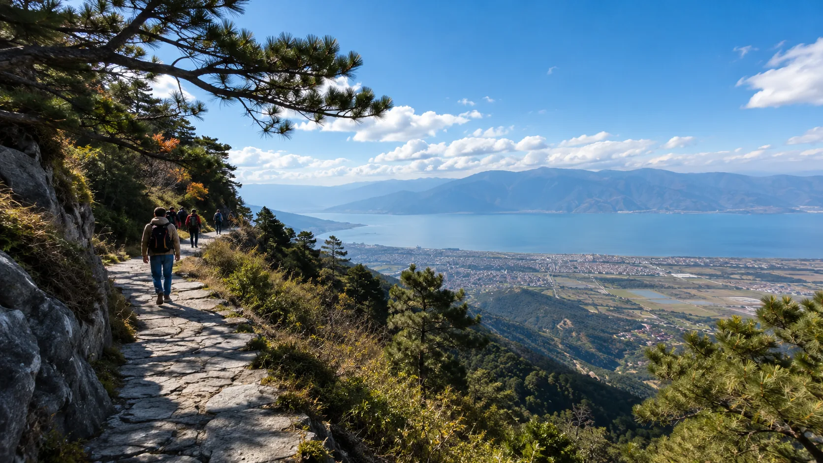



Kunming is “Spring-like all year round” (average temperature 15°C), Dali has a mild climate (15-25℃), and Lijiang’s high altitude leads to extreme temperature differences between day and night (around 20°C during the day, dropping below 5°C at night).
The dry season from 11-4 is the best time to see Lijiang’s “Golden Mountain at Sunrise”; carry rain gear during the 5-10 rainy season.
Ultraviolet rays on the plateau are extremely strong year-round, so be sure to carry SPF50+ sunscreen. The “Onion Layering Method” (T-shirt + windbreaker + lightweight down jacket) is recommended to easily cope with four seasons in one day!
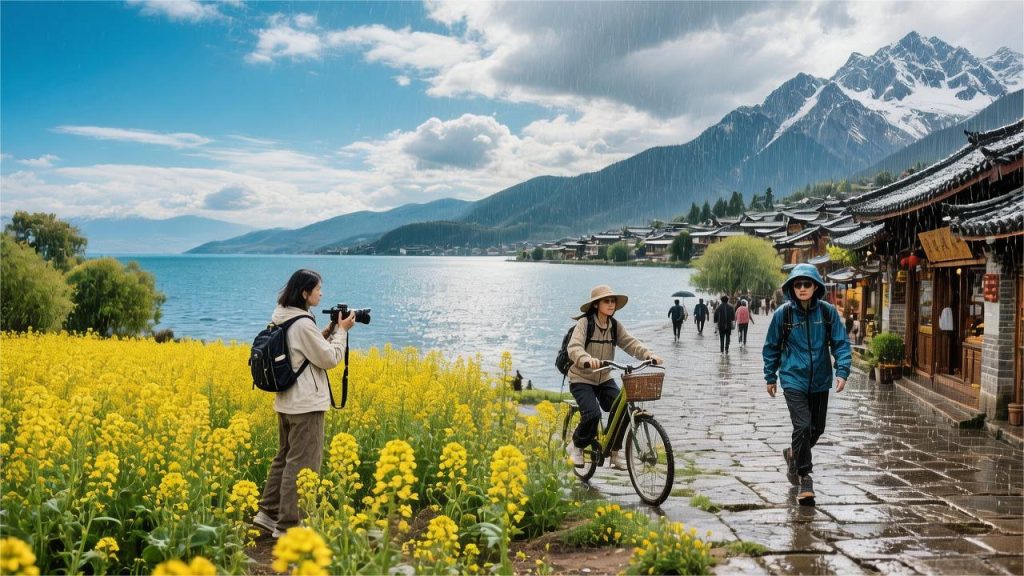
Kunming
The elevation of Kunming’s urban area is 1891 meters, located at 25 degrees north latitude, featuring a low-latitude plateau monsoon climate. The annual average temperature is 15°C, with summer highs rarely exceeding 28°C and winter lows hovering around 0°C. Precipitation is clearly divided: May to October is the rainy season, accounting for about 85% of annual rainfall (approx. 850 mm); November to the following April is the dry season, with relative humidity often below 40%. The daily temperature range stays between 10°C and 15°C year-round. “One rain brings autumn” is a specific physical cooling phenomenon, where temperatures usually drop by 5°C-8°C on rainy days.
Annual Climate and Clothing
The meteorological observation station in Kunming’s main urban area is at 1891 meters, recording an annual average temperature of 15.1°C. The historical extreme high of 31.2°C occurred in May, and the extreme low of -2.8°C occurred in December.
Annual precipitation of 900 mm to 1000 mm is distributed between the rainy season (May to October) and dry season (November to April) at a ratio of 8.5 to 1.5. Different seasonal physical indicators require completely different luggage configurations.
March to May is a period of physical overlap between strong winds and extreme dryness, with monthly average precipitation often under 30 mm. At 14:00, relative humidity frequently drops below 30%, and average southwest wind speeds reach 3.2 m/s.
From 12:00 to 15:00 daily, cloud cover is less than 20%, and the UV index regularly hits extreme values of 9 to 10. Skin moisture is lost at a rate of 20 ml to 30 ml per hour.
Basic attire requires a 150 g/m² weight pure cotton long-sleeved T-shirt, paired with a single-layer windbreaker with a wind permeability of less than 50 mm/s.
| Spring (3-5) Meteorological Parameters | Observation Data Range | Physical Clothing Quantitative Indicators | Recommended Materials and Equipment |
|---|---|---|---|
| Day-Night Temperature Amplitude | 10℃ – 14℃ | Thermal Resistance (clo) 0.5 – 0.8 | Pure Cotton/Linen blend base layers |
| Daily Avg Sunshine Hours | 7.5 – 8.5 hours | UPF 50+ / UVA transmission < 5% | Polyester fiber yarn sun protection layer |
| Afternoon Relative Humidity | 25% – 40% | Frictional Static Voltage < 2000V | Strictly avoid pure acrylic fabrics |
From June to August, the southwest monsoon brings vast amounts of water vapor from the Bay of Bengal, causing monthly precipitation to surge to 150 mm to 200 mm. Rainy days occur 15 to 20 days per month, with relative humidity staying between 75% and 80% for long periods.
Cloud cover increases to 60-80%, and sunshine hours are compressed to 4-5 hours. Daytime highs are suppressed by rain to 25°C-27°C, while nighttime temperatures stabilize at 16°C-18°C.
- Short-sleeved T-shirts paired with ultra-thin jackets with a waterproof index over 3000 mm are standard.
- Rainfall usually occurs between 15:00 and 18:00.
- Ground temperature drops by 5°C within 30 minutes after rain, with the perceived temperature approaching autumn.
| Summer (6-8) Meteorological Parameters | Observation Data Range | Physical Clothing Quantitative Indicators | Recommended Materials and Equipment |
|---|---|---|---|
| Single Rain Shower Precipitation | 10mm – 30mm | Durable Water Repellency (DWR) Level 4 | Nylon/Teflon coated outer shell |
| Daily Average Temperature | 20℃ – 22℃ | Moisture Permeability > 5000g/m²/24h | Cooling quick-dry knit fabrics |
| Noon UV Index | 4 – 7 (Moderate to High) | Lens Transmittance Category 2 | Resin polarized sunglasses |
From September to November, the precipitation curve drops sharply at a 75-degree angle, from 120 mm in September to less than 20 mm by November. Condensation nuclei in the air decrease, and visibility returns to over 20 km. The daily temperature range increases from 8°C in summer back to 12°C.
In late October, nighttime temperatures drop below 10°C; at 8:00 AM, the outdoor perceived temperature is only about 11°C, climbing rapidly to 22°C by 13:00. The three-layer onion method enters the practical phase.
- Inner layer: A 100 g/m² breathable, sweat-wicking short-sleeved shirt.
- Middle layer: 200 g/m² polyester fleece for static insulation.
- Outer layer: High-density woven windbreaker jacket to handle morning and evening winds of 2.0 to 2.8 m/s.
| Autumn (9-11) Meteorological Parameters | Observation Data Range | Physical Clothing Quantitative Indicators | Recommended Materials and Equipment |
|---|---|---|---|
| Monthly Avg Rainy Days | 2 days – 6 days | Wind Permeability < 10mm/s | High-density woven/coated windproof fabric |
| Daily Ambient Temp Difference | 12℃ – 15℃ | Thermal Resistance (clo) 1.0 – 1.5 | 200g fleece/thin sweater |
| Morning Perceived Temp | 8℃ – 12℃ | Head Physical Insulation Rate > 60% | Thin knit wool beanie |
From December to February, controlled by continental cold high pressure, the 90-day period consists mostly of cloudless and calm sunny days. Daily sunshine hours bounce back to over 8 hours, and daytime highs can still reach 14°C to 16°C.
The nighttime radiative cooling effect is intense, with temperatures dropping to 2°C-4°C between 4:00 and 7:00 AM. All 22 average annual frost days are distributed in this phase, with ground temperatures often approaching 0°C in the early morning.
In the mornings and evenings, wear a lightweight down jacket with 100g to 150g of fill and 600+ fill power. Add thermal leggings with a thermal resistance of about 0.2, then switch to just a thick sweatshirt after 12:00 PM.
| Winter (12-2) Meteorological Parameters | Observation Data Range | Physical Clothing Quantitative Indicators | Recommended Materials and Equipment |
|---|---|---|---|
| Nighttime Minimum Temp | 2℃ – 4℃ | Fill Weight 100g-150g | Fill Power 600+ Duck/Goose down |
| Relative Humidity Minimum | 30% – 35% | Leg Thermal Resistance (clo) ~0.2 | Spandex blend thermal base layers |
| Morning Ground Temp | 0℃ – 2℃ | Sole Slip Resistance Coefficient > 0.4 | Rubber outsole thermal sneakers |
Elevation differences cause small temperature variations of 0.5°C to 1°C across different administrative districts. Panlong District in the city center is at 1895 meters; compared to the Dianchi Lake area at 1886 meters to the southwest, wind speeds are slightly lower by 0.5 m/s at the same time.
When strong cold air crosses the Wumeng Mountains and moves south, temperatures can plummet within 24 hours. Historical observations have seen daily highs drop from 18°C to 4°C in a single day.
When the weather forecast shows snow or sleet (probability below 3%) in the next 24 hours, the combination of humidity and 0°C temperature produces strong damp-cold penetration. All clothing thermal resistance parameters should be increased by 50%.
| Kunming Regional Microclimate Differences | Avg Elevation Baseline | Temp Diff vs City Center | Local Avg Wind Speed Change |
|---|---|---|---|
| Chenggong University Town (South) | 1920m | Decrease 0.4℃ | Increase 0.6 m/s |
| Western Hills Scenic Area (Mid-mountain) | 2100m | Decrease 1.2℃ | Increase 1.0 m/s |
| Dianchi Haigeng Dam (Waterfront) | 1886m | Increase 0.2℃ | Increase 0.8 m/s |
Specific Natural Landscapes
When Siberian cold air drops temperatures on Lake Baikal below -20°C, black-headed gulls fly 6000 kilometers to Kunming. Since the first observation in 1985, the wintering population has remained steady between 35,000 and 40,000.
The average daytime winter temperature of 15°C in the city and the 733,000 tons of fish and shrimp in the Dianchi basin provide suitable physical wintering conditions. Joint observations by the meteorological bureau and ornithologists show that bird foraging activity reaches its peak on calm, sunny days with temperatures between 10°C and 18°C.
- Haigeng Dam is 2.8 km long and the area with the highest daily density, reaching 3 birds per square meter on the water and shore.
- The intensive foraging period is from 9:00 to 11:00 AM, with an aerial interception rate of over 90% for synthetic gull food provided by tourists.
- Green Lake Park, with its 21 hectares of inland water, year-round stabilizes a population of 7,000 to 8,000 individuals.
- Before sunset around 17:00, groups fly back to the center of Dianchi at speeds of 30 to 40 km/h for nighttime roosting.
- In mid-March, when the single-day minimum temperature stabilizes above 10°C, black breeding plumage appears on adults as they begin northern migration in batches.
Spring temperatures rise in stages, triggering the phenological clock of the city’s street trees. In late April, when the daily average temperature exceeds 18°C for 5 consecutive days and relative humidity is below 40%, jacaranda flower buds enter a rapid expansion phase.
The more than 50,000 jacarandas planted throughout the city complete their color transformation within two weeks. The bloom duration is highly dependent on calm, rainless weather; if there is no rain in early May, the purple-blue state of a single flower crown can last 15 to 20 days.
Once a strong convective rainstorm with over 10 mm of precipitation occurs, the physical shed rate of fragile petals surges to over 60% within 24 hours, ending the peak bloom early.
- 252 trees are densely planted along the 1.5 km Jiaochang Middle Road; during peak bloom, the canopy density measures as high as 70%.
- The Panlong River banks at Jiangbin West Road feature old tree clusters over 20 years old with an average diameter of 30 cm.
- From 8:00 to 10:00 AM, the solar altitude angle is between 30 and 45 degrees, offering the highest color accuracy for front-lit photography.
- Due to urban microclimates, the blooming peak in the Hongjin Road area is usually delayed by 3 to 5 days compared to Jiaochang Middle Road.
In mid-November, nighttime minimum temperatures drop below 8°C, and effective daily sunshine shortens to 10 hours.
Lutein quickly becomes dominant, causing ginkgo leaves to turn from green to yellow in 7 to 10 days. At this time, Kunming is controlled by dry descending southwest air currents, with average wind speeds between level 2 and 3, and air visibility stays consistently high at over 15 km.
- The Ginkgo Avenue at Yunnan University’s Chenggong Campus is 800 meters long, with over 1,200 ginkgos planted symmetrically on both sides.
- Kunming Botanical Garden (West Garden) features ancient ginkgo clusters over 60 years old with average heights exceeding 15 meters.
- Affected by the 1°C-2°C thermal insulation effect of Dianchi’s vast water body, the yellowing of ginkgos in Daguan Park is delayed by about 7 days.
- Wind gusts reaching level 4 in early December trigger concentrated leaf fall, with natural leaf accumulation on the ground reaching 5 cm within 3 days.
In late December, Kunming’s unique winter cherry blossom varieties enter their concentrated blooming period.
Under dry and cold conditions with daytime temperatures of 14°C-16°C and humidity as low as 30%, over 600 winter cherries along the 1.9 km Hongta West Road bloom simultaneously. The natural bloom period is very short, lasting only 12 to 15 days from initial bloom to full wilt.
The petal epidermal cells display high-saturation pink. Under winter noon sunshine with a UV index as high as 7, the high-transparency light creates a strong visual spectral contrast against the cloudless blue sky with minimal air particles.
Transportation and Physical Adaptation
Kunming Changshui International Airport sits at 2103 meters, while the main city averages 1891 meters. For tourists from low-altitude areas, the atmospheric pressure drops from a standard 101 kPa to about 80 kPa, with oxygen content falling to 78% of sea level.
Arterial blood oxygen saturation usually drops naturally from 98% to the 92%-94% range within 2 hours of landing.
Resting heart rate in healthy adults increases by 10 to 15 beats per minute to compensate for the physical drop in oxygen partial pressure. Walking speeds on the first day should be kept below 1.2 m/s to avoid chest tightness and shortness of breath.
- It is suggested to limit total daily steps to 8,000 to 10,000 in the first 24 hours.
- Keep shower water temperature between 38°C and 40°C, and strictly limit shower time to under 10 minutes.
- Right-side sleeping is recommended at night to reduce physical pressure on the heart and ensure over 8 hours of bed rest.
Red blood cell compensation usually takes 48 to 72 hours for initial building. During this period, reduce alcohol intake to one-third of your normal amount to avoid ethanol-induced vasodilation, which leads to body heat loss and cold susceptibility.
Aircraft arrivals and departures are restricted by strong turbulence from the intersection of high-altitude and low-latitude monsoons. During the rainy peak from June to August, the probability of afternoon thunderstorms at Changshui Airport from 14:00 to 19:00 is as high as 65%.
Cumulonimbus clouds often exceed 8,000 meters in height, accompanied by strong wind shear. Statistics show flight delays over 2 hours during this period climb from 8% in the dry season to 22%.
- Prioritize morning flights between 7:00 and 11:00 AM when booking.
- Convective activity is intense in the afternoon; turbulence during descent through clouds often exceeds 0.5 G.
- Diversion probabilities increase multifold during heavy rain weeks in late July, with Guiyang or Chengdu being the primary alternate airports.
Metro Line 6 can be reached directly from level B2 of the airport terminal; trains run at a top speed of 100 km/h, covering the 25 km distance to the East Bus Station in 28 minutes.
If taking a ride-hail or taxi to the city center via the airport highway, the travel time outside peak hours (avoiding 7:30-9:00 and 17:30-19:00) is usually 45 to 50 minutes.
Kunming South Station (High-speed Rail) is about 28 km from the city center, taking over 45 minutes by Metro Line 1.
The city’s internal terrain is higher in the north and lower in the south, with slopes in northern Panlong and Wuhua Districts often exceeding 5 degrees. Shared bikes on long uphill sections can consume an extra 30% of physical energy reserves.
Metro lines 1 through 6 cover over 80% of standard travel routes. Within a 2 km radius of Green Lake, peak hour traffic speeds often drop below 15 km/h due to the one-way road network.
- To visit Western Hills Scenic Area, take Metro Line 3 to the terminal station; the cableway ticket office is a 150-meter walk away.
- To see seagulls at Haigeng Dam, take bus 24 or 73; dedicated bus lanes can save 20% of commute time.
- The Dianchi Ring Road spans dozens of kilometers; renting a car is the least physically demanding way to travel this section.
Due to the dual physical radiation effects of latitude and altitude, Kunming’s surface receives over 1000 watts per square meter of solar radiation between 12:00 and 15:00.
Exposed skin can develop erythema after 20 minutes of continuous exposure at this intensity. The evaporation rate of skin moisture during the dry season (30% humidity) is 1.5 to 2 times higher than in coastal cities.
Daily intake of 2.5 to 3 liters of pure water is needed, using urine color (aim for pale yellow) to physically monitor hydration status.
Carry a 500 ml water bottle and maintain a drinking frequency of 150 ml every 45 minutes. Nasal mucosa capillaries can easily rupture and bleed under the stimulus of extremely dry, cold air.
Place a glass of water by the bed before sleep, or use a humidifier to force indoor relative humidity above 50% to effectively reduce respiratory dryness the next morning.
Dali
The main urban area of Dali is at an average elevation of 1975 meters, with an annual average temperature of 15.1°C. Influenced by the thermal differences between the terrain, Cangshan Mountain, and Erhai Lake, it exhibits a typical low-latitude plateau monsoon climate. Annual rainfall is about 1050 mm, with 85% concentrated in the May to October rainy season. The local daily temperature range stays between 10°C and 15°C. The “Xiaguan Wind” in winter and spring averages 4.1 m/s, with gusts often reaching level 8. At noon on sunny days, due to the thin atmosphere at high altitude, the UV Index (UVI) usually remains in the extremely high range of 8 to 11.
Annual Temperature and Precipitation
The Dali National Reference Climatological Station is built in a basin at 1990.5 meters, recording an average annual temperature of 15.1°C. The active accumulated temperature ≥ 10°C year-round stays between 4500°C and 5000°C. The overlap of terrain and plateau monsoon causes meteorological parameters to be non-uniformly distributed across the 12 months.
In early spring from March to May, the temperature rise follows a 25-degree incline. In March, the daily temperature range reaches 13.5°C, with temperatures often around 6°C at 6:00 AM, rising rapidly to over 20°C by 14:00. At this time, the southwest monsoon average wind speed is 4.5 m/s, and relative humidity drops to a low of 45%.
April’s average rainfall is only 25 mm, with sunny or cloudy days usually exceeding 22 per month. Extreme dryness causes surface evaporation to far exceed precipitation, keeping the forest fire risk level on the eastern slopes of Cangshan at a level 5 red alert for up to 30 days.
In late April and early May, a subtropical high briefly controls Dali; the meteorological station once recorded a yearly high of 31.4°C. Relative humidity drops below 40%, and intense transpiration brings monthly surface evaporation to 150 mm.
As warm, moist air from the Bay of Bengal moves north in late May, meteorological parameters undergo a sharp physical reversal. Below are specific observation values for the 12 months to provide a quantitative reference for luggage weight distribution.
| Month | Avg High(℃) | Avg Low(℃) | Precipitation(mm) | Rainy Days(Days) | Rel Humidity(%) | Sunshine Hours(h) |
|---|---|---|---|---|---|---|
| Jan | 15.3 | 2.2 | 16 | 3 | 52 | 260 |
| Feb | 16.8 | 3.5 | 24 | 4 | 50 | 245 |
| Mar | 19.7 | 6.1 | 30 | 6 | 48 | 255 |
| Apr | 22.5 | 9.0 | 25 | 7 | 45 | 240 |
| May | 24.2 | 12.8 | 80 | 12 | 58 | 210 |
| Jun | 24.8 | 15.6 | 175 | 18 | 75 | 140 |
| Jul | 24.3 | 16.0 | 210 | 20 | 82 | 125 |
| Aug | 24.1 | 15.3 | 205 | 20 | 83 | 135 |
| Sep | 23.3 | 13.9 | 140 | 15 | 78 | 150 |
| Oct | 21.2 | 11.0 | 95 | 11 | 72 | 190 |
| Nov | 18.1 | 6.2 | 35 | 5 | 65 | 225 |
| Dec | 15.8 | 2.8 | 12 | 2 | 58 | 250 |
The table clearly shows the concentrated rainy season from June to August, where those three months account for 85% of annual rainfall. In August, the historical average number of rainy days is 20, with relative humidity climbing to a saturation range of 83%. Total monthly precipitation often exceeds 200 mm.
Abundant water vapor provides a forced cooling effect on the surface, suppressing the average maximum temperature for the three summer months to around 25°C. Historical extreme highs rarely exceed 34°C. After a rain shower, evaporative cooling often causes afternoon temperatures to drop by 5°C to 8°C within an hour.
High humidity in July and August significantly weakens solar radiation, with sunshine hours in July falling to a yearly low of 125. Consecutive days without sunshine can last 5 to 7 days.
- Natural air-drying time for clothes extends from 6 hours in spring to over 48 hours
- Perceived temperature quickly drops to the cool range of 18°C after showers
- Road surface water thickness can reach 3 cm to 5 cm during heavy rain
- Geological hazard warnings for landslides are issued regularly in July and August
From September to November, the southwest monsoon gradually recedes, and monthly rainfall drops sharply from 140 mm to 35 mm. October’s sunshine hours rise back to 190, cloud cover decreases, and the daytime UV index climbs back above 9. The average low in November falls to 6.2°C.
The clear autumn skies accelerate the loss of long-wave radiation from the surface at night, widening the daily temperature range back to over 12°C. Relative humidity returns to 65%, and the air takes on a crisp, cold physical quality. Entering December, the southern branch trough of the westerlies becomes the dominant weather system.
Total rainfall for the three months from December to February is less than 55 mm, with only 2 to 4 rainy days per month. Dry descending air currents bring winter sunshine hours to their yearly peak, with January totaling 260 hours. Surface temperatures under the noon sun often reach over 18°C.
Intense sunshine compensates for the extremely low morning base temperature of 2.2°C. Lows occasionally drop below 0°C between 2:00 and 5:00 AM, with visible frost often forming on windward slopes. Strong temperature drops are usually accompanied by canyon winds, with maximum wind speeds in the Xiaguan area reaching 28 m/s in February.
- For every 1 m/s increase in wind speed, the perceived temperature drops by about 1.5°C
- Average wind speed in February is 4.8 m/s, making it feel 7°C colder than the actual temp
- An actual temp of 15°C feels below 8°C under strong winds
- The total annual sunshine of 2240 hours is mostly concentrated in the dry phase
- The over 900 mm of cumulative rainfall from May to October is entirely absent during this period
Unique Local Climate
Strong winds in Dali are concentrated in the winter-spring transition from November to April, with maximum speeds often reaching over 20 m/s, equivalent to a level 8 gale. The wind direction is highly consistent, dominated by southwest winds, with peak intensity between 14:00 and 18:00.
- Xiaguan Urban Area: Highest wind speed, walking feels significantly obstructed
- Dali Ancient City: About 15 km from Xiaguan, wind force drops to level 3-4
- Xizhou Town: About 18 km north of the Ancient City, wind is weak
- Haidong Town: East shore of Erhai, almost no wind due to the barrier of Cangshan
The nineteen peaks of Cangshan have an average elevation of over 3500 meters, with the highest, Malong Peak, reaching 4122 meters. When visiting Dali, tourists often cross a nearly 2000-meter elevation gap within a few hours.
According to the vertical temperature lapse rate, temperature drops by 0.6°C for every 100 meters of elevation. When Dali Ancient City (1975m) is at a comfortable 22°C, the temperature at the Ximatan Cableway terminus (3920m) is only around 10°C. In rainy weather, mountain top temperatures often drop below 5°C.
High-altitude low temperatures cause snow to cover the Cangshan peaks from December to March. Areas above 3200 meters are in an alpine cold climate year-round with stunted shrubs. The meeting of cold and warm rising air often produces ribbon-like clouds at mid-mountain levels (2800m to 3000m).
- Gantong Cableway (2600m): About 4°C colder than the Ancient City; spring/autumn wear needed
- Zhonghe Cableway (2600m): High forest cover, feels cool
- Ximatan Mid-way (2900m): About 6°C colder than the Ancient City; windbreaker needed
- Ximatan Terminus (3920m): About 12°C colder than the Ancient City; thick down jacket needed
While elevation creates vertical temperature differences, Erhai Lake, which occupies a massive area at the bottom of the basin, acts as a natural thermostat horizontally. Its 2.5 billion cubic meters of water have a massive heat capacity, absorbing radiation by day and releasing heat at night. The lake regulates temperatures within a 5 km radius in both directions.
Monitoring shows that the daily temperature range near Erhai is 2°C to 3°C smaller than at the edges of the Dali basin. In the afternoons of July and August, lake evaporation absorbs heat, keeping temperatures on the ring road below 26°C. At night in winter, the lake releases stored heat, reducing the likelihood of extreme freezing weather nearby.
The vast lake surface creates microclimate differences between the east and west shores. In the morning, the sun rises in the east, and the west shore (Ancient City side) receives sunlight first, warming up faster. In the afternoon, the sun is blocked by Cangshan, and the west shore enters the shade around 18:00, causing temperatures to drop.
At this time, the east shore (Shuanglang, Wase side) remains exposed to direct sunlight. This difference in sunshine duration means that at 16:00, temperatures in Shuanglang are usually 1°C to 1.5°C higher than in Dali Ancient City. Relative humidity on the east shore is about 5% lower, making it feel drier.
Humidity and precipitation distribution are also influenced by the mountain and water layout. Under the influence of the westerly monsoon, moisture-laden clouds produce orographic rain as they climb the western slopes of Cangshan. When they cross the peaks to the eastern slopes and Erhai basin, moisture is greatly reduced, creating a Foehn effect.
- Cangshan West Slope (Yangbi side): Annual rainfall over 1200 mm
- Cangshan East Slope (Ancient City side): Annual rainfall approx. 1050 mm
- Erhai East Shore (Wase side): Annual rainfall drops to around 800 mm
The eastern side of Cangshan mostly has sunny weather, with clouds often lingering on the ridge line, forming the local “Jade Belt Cloud” landscape. During the peak rainy season from May to October, the phenomenon of “Rain on Cangshan, sun on Erhai” often occurs. When the west shore experiences showers, driving to the east shore can often help you avoid the rain.
Luggage Preparation Guide
Dali’s daily temperature range is 12°C to 15°C year-round, often accompanied by gusts over level 7. A single thickness of clothing cannot handle a sudden temperature jump from 10°C to 25°C within a day. Luggage must be layered based on the onion principle: base layer for wicking, middle layer for insulation, and outer layer for wind protection.
The base layer needs to be quick-drying to prevent the 4 m/s cold wind from chilling you after sweating. 150g to 200g Merino wool short sleeves or tech-polyester long-sleeved T-shirts are very practical. Pure cotton has high water absorption and is hard to dry, becoming stiff and irritating to the skin when humidity drops below 40% in the dry season.
The thickness of the insulation layer should be adjusted by month. From November to March, a 250g fleece or a thin “rib” down jacket with 50g to 80g of fill effectively locks in body heat. From April to October, a medium-thickness knit cardigan or a 300g cotton sweatshirt is enough for the 15°C mornings and evenings.
The outer windbreaker is the physical barrier against heat loss. In the Xiaguan area, average wind speeds are 4.1 m/s, which easily penetrates regular knitwear. Jackets with Gore-Tex or other windproof breathable membranes greatly improve outdoor comfort. For the 3920m Ximatan on Cangshan, upgrade the outer layer to a windproof thick down jacket.
- Base Layer: 2-3 quick-dry T-shirts (150g to 200g)
- Insulation Layer: 1 fleece (250g) or 1 lightweight down jacket
- Windproof Layer: 1 hardshell or softshell windproof jacket
- Bottoms: Durable, windproof stretch quick-dry pants or slight-stretch jeans
- Footwear: Slip-resistant hiking shoes or sneakers with EVA midsoles
High altitude significantly reduces the atmosphere’s ability to block UV rays, making sun protection mandatory. On sunny days in Dali, the UV index is consistently in the extremely high danger zone of 10 to 11. Exposed skin without protection can develop erythema or 1st-degree burns within 15 minutes.
Physical blocking is effective for longer than chemical sunscreens. UPF50+ dark sun-protective clothing blocks over 98% of UVA and UVB. For the face, use SPF50+ PA++++ broad-spectrum sunscreen, using 1.5 ml per application and reapplying every 2 to 3 hours outdoors.
The Erhai water surface and Cangshan snow create strong diffuse reflection of sunlight. Polarized sunglasses (Category 3) effectively filter water glare and protect the retina. A sun hat with a brim wider than 7 cm provides a large physical shadow for the face, ears, and back of the neck.
- Topicals: 1 bottle of SPF50+/PA++++ broad-spectrum sunscreen
- Body Protection: 1 UPF50+ dark sun-protective shirt
- Head Coverage: 1 wide-brimmed sun hat (brim > 7cm)
- Eye Filtering: 1 pair of Category 3 polarized sunglasses
Beyond sun protection, Dali’s rainfall from November to May accounts for less than 15% of the annual total, with afternoon humidity often dropping below 30%. Winds over 4 m/s accelerate surface evaporation, easily leading to dry skin and respiratory discomfort.
High-moisturizing creams containing ceramides, squalane, or 5% panthenol can slow epidermal water loss. Lacking sebaceous glands, lips can crack after half a day in strong winds; carry a high-moisturizing lip balm with petrolatum or lanolin. Body lotion is best applied within 3 to 5 minutes after showering.
In the 2000m plateau environment, water loss through breathing and skin is 1.2 to 1.5 times higher than in lowlands. Daily water intake should increase to 2000 ml to 2500 ml based on body weight. Carry a 500 ml thermos to provide physiological comfort during the 5°C mornings and evenings.
Elevation gaps and rainfall cycles place special demands on personal items. The Erhai ring road is about 129 km long with many curves; long rides can trigger motion sickness, so prepare dimenhydrinate tablets. Rain is frequent during the June-October rainy season, with up to 18 rainy days a month, making an 8-rib windproof folding umbrella a must-have.
- Skin Moisturizing: Cream with 5% panthenol and petrolatum lip balm
- Hydration: 500ml 304 stainless steel thermos
- Spare Medicine: Dimenhydrinate, Ibuprofen, and waterproof bandages
- Rain Gear: 8-rib or 10-rib windproof folding umbrella
Lijiang
Lijiang Dayan Ancient City is at an altitude of 2418 meters. The annual average temperature is 12.6°C, and annual rainfall is about 950 mm, with 85% concentrated from June to September. November to the following April is the dry season, with monthly rainfall under 15 mm and over 250 sunshine hours per month. Lijiang’s daily temperature range averages 12°C-15°C, reaching 20°C in winter. The highest open altitude of Jade Dragon Snow Mountain is 4506 meters, maintaining a vertical temperature difference of about 12°C from the Ancient City. Travelers must pack both short sleeves and thick coats.
Annual Climate
Lijiang’s urban baseline is 2418 meters, with an average temperature stable at 12.6°C and annual precipitation around 953.9 mm. The climate is polarized: November to May is extremely dry, with less than 15 mm of rain per month but 250 hours of sun; June to October brings moisture, accounting for 85% of annual rain and a surge in humidity. The daily temperature range averages 12°C to 15°C, widening to 20°C in winter.
Data from the Lijiang Ancient City station shows only 4.5 mm to 8.2 mm of rain per month from January to March due to the westerlies. At 2:00 PM, relative humidity often drops below 25%. In the first 90 days, sunshine totals up to 780 hours, with over 92% of days being perfectly sunny.
Surface heat dissipates very quickly at night, with a January average low of -0.3°C. Leaving at 7:00 AM, temperatures are often below -3°C. By noon, under intense sunlight, ground temperatures quickly climb to around 14°C to 16°C.
In spring, high-altitude winds blow downward, significantly increasing ground wind speeds. In the afternoons of March and April, average wind speeds reach 4.5 m/s with gusts of level 6 to 7. Atmospheric pressure averages 764 hPa, about 75% of standard sea-level pressure.
| Month | Avg Daily High(℃) | Avg Daily Low(℃) | Precipitation(mm) | Rel Humidity(%) | Sunshine Hours(h) |
|---|---|---|---|---|---|
| Jan | 14.1 | -0.3 | 4.5 | 38 | 265 |
| Feb | 15.2 | 1.8 | 6.8 | 36 | 242 |
| Mar | 17.6 | 4.6 | 12.5 | 39 | 260 |
| Apr | 20.3 | 7.5 | 18.2 | 45 | 245 |
| May | 22.8 | 11.2 | 58.4 | 56 | 228 |
| Jun | 23.5 | 14.3 | 165.8 | 73 | 155 |
In late May, the southwest wind blows north, reversing the weather pattern. Monthly rainfall jumps from 18.2 mm in April to 58.4 mm in May. Humidity rises to 56%, and surface evaporation slows down noticeably.
June to August is dominated by warm, moist southwest air currents, with over 55% of the year’s rain falling in these three months. July is the wettest month, with 242.5 mm of rain and an average of 22 rainy days.
Thick cloud cover blocks short-wave solar radiation, so summer days are not hot. In July and August, daily highs are kept under 23.5°C. At night, clouds act like a blanket, keeping lows stable between 14.5°C and 15°C.
During the summer-autumn transition, the daily temperature range narrows to 8°C-9°C. Over 80% of rain falls between 8:00 PM and 8:00 AM. Daytime rain is mostly short convective showers lasting about 30 to 50 minutes.
| Month | Avg Daily High(℃) | Avg Daily Low(℃) | Precipitation(mm) | Rel Humidity(%) | Sunshine Hours(h) |
|---|---|---|---|---|---|
| Jul | 23.1 | 14.8 | 242.5 | 82 | 138 |
| Aug | 22.8 | 14.3 | 215.6 | 83 | 145 |
| Sep | 21.5 | 12.5 | 135.2 | 80 | 150 |
| Oct | 19.8 | 9.2 | 65.5 | 70 | 205 |
| Nov | 17.2 | 3.8 | 15.2 | 52 | 248 |
| Dec | 14.8 | 0.2 | 5.1 | 42 | 262 |
In mid-September, the cold front moves south, and the rain belt recedes. Monthly rainfall drops to 135.2 mm, and daytime highs drop to 21.5°C. In October, sunshine hours return to over 205, and weather becomes dry and cold again.
November sees a sharp drop in daily lows, from 9.2°C in October to 3.8°C. The first frost usually appears around November 20. In the urban area at 2418m, the average annual snowfall is less than 1.5 days over the last decade.
Frost is very common from December to February. Nighttime ground temperatures often drop below -5°C, and outdoor pipes have a 70% chance of freezing solid between 3:00 and 6:00 AM.
Southwest winds dominate in winter, with average speeds slowing to 2.5 m/s to 3.2 m/s. December’s average pressure rises to 768 hPa, slightly higher than summer’s 760 hPa. This slight pressure increase has negligible impact (under 1%) on blood oxygen.
Historical peaks for local indicators are quite concentrated:
- Extreme High: 32.3℃ (usually in the late May dry-heat period)
- Extreme Low: -10.3℃ (usually during late January cold fronts)
- Max Daily Rainfall: 128.5 mm (recorded in mid-July)
- Avg Annual Evaporation: 2120 mm (about 2.2 times the annual rainfall)
High altitude changes physical data in very noticeable ways:
- Urban Boiling Point: Stays between 91.5℃ and 92.5℃
- Food Heating Time: 40% to 50% longer than in lowlands
- Avg Atmospheric Pressure: 764 hPa (about 75% of sea level)
- Oxygen Partial Pressure: Between 159 hPa and 161 hPa
The monthly maximum UV index hits the dangerous peak of 11 or 12 for 9 months of the year. Only during the rainy July and August does it drop to moderate levels (6 to 8).
Dry and Wet Season Response
Lijiang is controlled by the southern branch jet of the westerlies from November to May, with rainfall accounting for only 10% to 15% of the annual total. Monthly rainfall is often under 15 mm. Relative humidity lingers below 30%. These 7 months total over 1600 sunshine hours.
At 7:00 AM, temperatures are usually 0°C to 5°C. The flagstone streets of Dayan Ancient City often have frost, and it feels piercingly cold. Going out for breakfast requires a down jacket with 150g+ of fill. Some may feel stiff in their hands and feet in the morning.
From 12:00 to 3:00 PM, solar radiation peaks, and temperatures quickly rise to 15°C-20°C. Skin surface temperature under direct sun can exceed 25°C. Long-sleeved cotton T-shirts or thin shirts are sufficient then. Use SPF50+ sunscreen.
Temperatures in the shade are 5°C to 8°C lower than in the sun. Walking through narrow, shaded alleys, you will feel an instant chill. Humidity below 30% leads to rapid skin moisture loss. The probability of static electricity when taking off synthetic clothing is as high as 90%.
- Carry body lotion with over 5% urea or ceramides.
- Apply SPF50+, PA++++ physical sunscreen.
- Prepare layered clothing with a perceived temperature difference of over 10°C.
- Use a humidifier indoors to keep sleeping humidity at 50%.
Starting in June, the southwest monsoon brings moisture, and monthly rainfall jumps to over 150 mm. 85% of rain falls between June and October. Relative humidity stays between 75% and 85%. Cloud cover reduces sunshine to under 120 hours per month.
Daily temperature fluctuations narrow significantly, mostly running between 14°C and 24°C. Rain occurs as local showers lasting 1 to 2 hours. Days feel extremely cool.
When it rains, heat is stripped away as the water evaporates. Perceived temperature can drop 5°C to 8°C within 30 minutes. Those in short sleeves will quickly feel damp and cold. Over 60% of rain occurs at night.
Saturation-level humidity means cotton clothes take 2 to 3 days to dry naturally. The stone roads in the Ancient City with slopes over 15 degrees become very slippery. The friction coefficient between shoe soles and mossy ground drops by 40%.
- Switch to quick-dry polyester base layers and underwear.
- Wear a windproof and waterproof jacket with a PTFE membrane.
- Wear outdoor shoes with deep treads and Vibram rubber outsoles.
- Choose rooms with heat pump dryers or electric towel racks.
The March-May transition period often has afternoon gusts of level 5 to 6, with speeds over 12 m/s. Winds kick up dust, dropping local visibility to 5 km.
Walking against the wind creates noticeable breathing pressure, and dust easily enters the eyes and nose. Dry air plus 10 m/s winds lead to an 80% chance of chapped lips. Rapid eye moisture evaporation causes dryness and tearing.
In the late rainy season (late September to October), sharp showers turn into lingering autumn rain. Overcast rainy weather can last 3 to 5 days, with highs falling below 15°C. Lacking central heating, indoor temps in wooden houses are often 2°C-3°C lower than outdoors.
- Wear wraparound windproof sunglasses when going out from March to May.
- Carry a high-moisturizing lip balm with lanolin.
- Pack a portable electric blanket or small heater for October trips.
- Wear a softshell jacket with good windproof/breathable ratings in the mornings and evenings.
UV Protection
Lijiang’s Dayan Ancient City is at 26°52’N latitude and 2418m altitude. At this height, the atmosphere blocks about 25% less solar radiation than at sea level. The UV Index (UVI) exceeds the high-danger peak of 10 for more than 260 days a year.
On sunny days, 65% of the day’s UV radiation occurs between 12:00 and 3:00 PM. Asian skin without physical protection can develop visible erythema after 15 minutes. UVA waves are highly penetrative, passing through 90% of regular clouds and unfilmed glass.
At 2400m, UVB intensity is 30% higher than in the lowlands; 40-minute exposure can cause 2nd-degree burns and peeling.
To cope, apply a coin-sized amount of sunscreen to the face (2 mg per cm²). Products below SPF50 last less than 40 minutes outdoors. Sweat washes away the coating, so reapply every 2 hours.
- Use physical or hybrid sunscreens with PA++++ or higher.
- Wear UPF50+ anti-UV sun hats with brims wider than 8 cm.
- Use UV400 polarized sunglasses to protect the retina from glare.
- Wear ice-silk sun masks that cover the corners of the eyes and the neck.
Besides the skin, the respiratory and circulatory systems undergo changes at 2418m. Oxygen partial pressure is about 76% of sea level. Lowland tourists often see their blood oxygen (SpO2) drop from 98% to the 90%-93% range upon arrival.
To compensate for lower oxygen per breath, the heart rate increases spontaneously. Resting heart rate is usually 10 to 15 beats higher than at sea level. On the first night, 40% of tourists experience difficulty falling asleep or light sleep, with time to reach deep sleep extended by about 45 minutes.
Lower blood oxygen causes compensatory expansion of cerebral capillaries, which can lead to mild throbbing in the temples during the first 24 to 48 hours.
Water loss accelerates in low-pressure, low-oxygen environments. Moisture lost through breathing and skin is 800 ml to 1000 ml more than at sea level. Daily water intake must be forced up to 2500 ml to 3000 ml, taken in small amounts frequently to maintain electrolyte balance.
- On the first day, keep walking speed at 60% of your normal pace; avoid lifting over 10 kg.
- Keep the first night’s shower under 40°C and 15 minutes; postpone baths.
- Stop all alcohol consumption, as it suppresses the respiratory center and burdens the heart and lungs.
- Carry a 1000ml portable oxygen canister (90%+ purity) just in case.
If visiting the 4506m Glacier Park on Jade Dragon Snow Mountain, oxygen partial pressure drops to 55% of sea level. While queuing at the 3356m lower station, inhale oxygen for 3-5 minutes to build a high-concentration reserve before ascending.
The 1150-meter vertical climb in a closed cable car over 10 minutes creates pressure on the eardrums. Balance pressure by swallowing or chewing gum. After reaching the 4506m walkway, rest for 30 seconds every 20 steps.
A heart rate over 120 bpm accompanied by persistent nausea on the mountain indicates the body can no longer compensate. Continuing to climb significantly increases the risk of pulmonary or cerebral edema. Immediately use 2L/min oxygen equipment and descend below 3000m via the cableway within 30 minutes.
After returning to the 2418m Ancient City, SpO2 will climb back above 92% within 2 hours. Some may experience “oxygen drunkenness” (lethargy). Arrange a 2-hour nap in the afternoon to help the nervous system adapt to the rising oxygen partial pressure.
Related Reading
- Yunnan Rainy Season Travel Pitfall Guide | What to Note for Yunnan Trips from July to August
- 2026 Lijiang Travel Guide | Beyond the Ancient Town: How to Explore Jade Dragon Snow Mountain & Shuhe Ancient Town
- 2026 Yunnan High-Speed Rail Timetable & Ticket Buying Guide | Travel Around Dali and Lijiang by High-Speed Train
- Best Time to Visit Yunnan | Recommended Attractions & Itineraries for Each Season
- 2026 Yunnan Travel Attractions | Top 10 Must-Visit Destinations for First-Time Visitors to Yunnan
Kunming — — Key Facts
Typical Climate & Packing (Past Years)
- January: 3 °C–17 °C °C, [Travel climate reference] Gull season
- February: 5 °C–19 °C °C
- March: 7 °C–22 °C °C
- April: 11 °C–25 °C °C
- May: 14 °C–26 °C °C
- June: 17 °C–26 °C °C, Rainy season